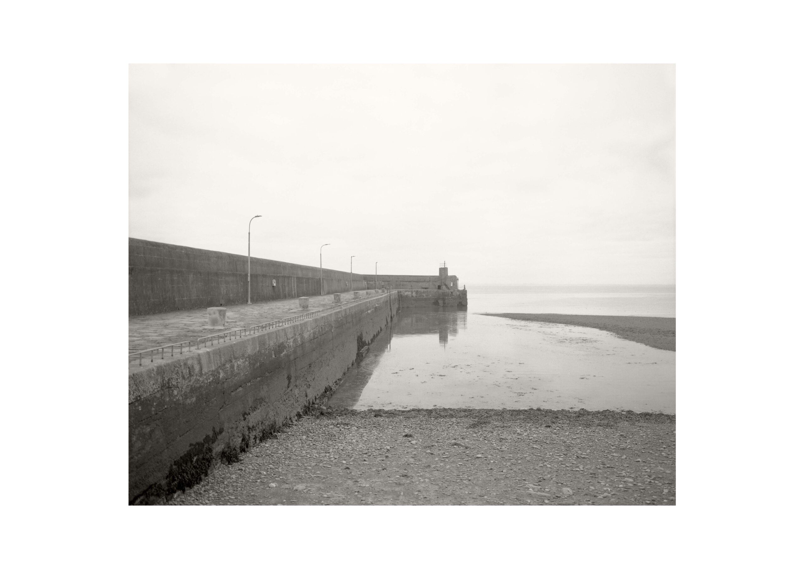
My practice explores our interventions on the land, and interpretations of the landscape, and uses images of the land to examine perception, looking, and lost histories. Like a kind of archaeology, by looking closely we can peel back layers, perceiving how we shape and alter the land; and how we conceive of meaning in the land. Looking at the land can tell us a lot about looking itself - the politics of looking and seeing, the social drivers of what we notice and what we ignore, the things we remember or forget. In Landscape & Memory, Simon Schama wrote that “it is our shaping perception that makes the difference between raw matter and landscape”. The history of landscape imagery deeply informs what we see when we look at the land. Whether creating or looking at landscape images, we carry that visual history with us, a cultural context that profoundly affects our perception and understanding of the environment around us. In an effort to challenge our conventional readings of the landscape, I’m often drawn to the apparently featureless and unnoticed. The work presented here, from the series Piers & Harbours, exposes a forgotten remnant of one of the most tragic and consequential events of Ireland’s modern history - the famine of the 1840s. We are familiar with the building of roads and walls as public works. The coast, too, is littered with the sites of piers and harbours proposed during that time, their history now lost under the accreted layers of subsequent context.