This year marks the bicentenary of the establishment of the Ordnance Survey of Ireland. In 1824, Colonel Thomas Colby (1784–1852) and Lieutenant Thomas Larcom (1801–1879) travelled the countryside from north to south, deciding on the most appropriate mountains for the mapping stations. This was the beginning of the process that would result in the first systematic map of any country at the scale of six inches to one mile.
The Ordnance Survey is perhaps most associated with a process of loss and change – it was, undoubtedly, a colonial process designed to improve oversight, governance and control over the Irish landscape. In Co Fermanagh, for example, ‘Claen-inis’ (meaning sloping or inclining island), became ‘Cleenish’, a ‘translation’ that captures the sound but none of the topographical information of the original placename.
The vast archives created by the Ordnance Survey contain thousands of letters, drawings, name books and published Memoirs (comprehensive antiquarian and demographic records of specific counties), which provide an unparalleled insight into pre-famine Ireland. The name books – slim, rectangular notebooks that could fit in a pocket – were used by survey personnel to record the varieties of placenames in a location. The antiquarian Seán Ó Donnabháin/John O’Donovan (1806–1861) used them to establish the standardised names on maps.
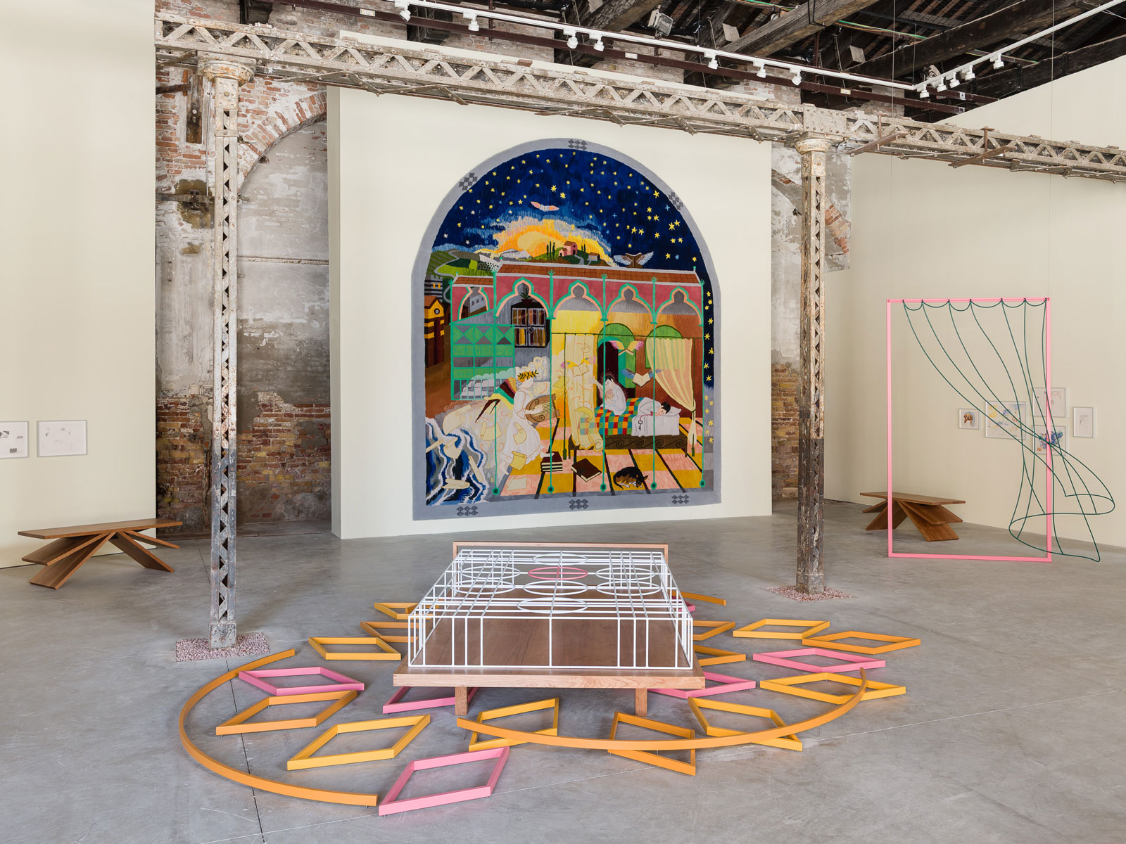
The Ordnance Survey had a substantial visual element, employing artists to create sketches of antiquities and field monuments. The specific visual language of the first six-inch maps themselves include fine, precise contour lines, stylised clumps of reeds marking boggy land and blue and red boundary markers; there are also the elegant typeface markings of ‘stepping stones’ or ‘Castle (in ruins)’, an abstract patchwork of field boundaries and irregular boxes denoting the presence of buildings. This visual legacy has been explored by several artists, including Kathy Prendergast in her 1983 Body Map series, and Karen Rann, who has engaged with the historic processes of mapping elevation and mountainous contours.
The Ordnance Survey archives, drawings and maps will be brought together in an online resource that will be freely accessible when the OS200 project, led by Catherine Porter from the University of Limerick and Keith Lilley of Queen’s University Belfast, is launched this summer.
Niamh NicGhabhann