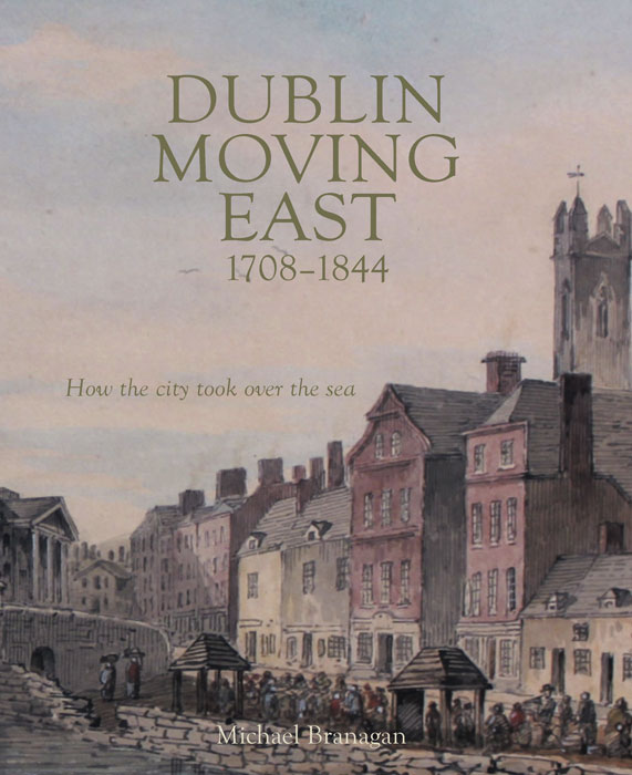
Dublin Moving East 
1708-1844: How The City Took Over The Sea
Michael Branagan
Wordwell Press, 2020
pp 320 fully illustrated h/b
€35.00 ISBN: 978-1-91649-226-4
Reviewed by Arnold Horner
As its title implies, Dublin Moving East 1708-1844: How the City took over the Sea focuses on the expansion of the city during the 18th and early 19th centuries. A primary theme is the reclamation activities of the Ballast Board following its establishment in 1708. Over many decades, the board was responsible for the regulation and scouring of the River Liffey by the building of the great south wall and later by making further quay walls on the north side and, in the early 19th century, the building of the Bull Wall. The board was also responsible for the building of the Poolbeg lighthouse (1768), a familiar and welcome sight for seafarers.
Michael Branagan enthusiastically describes the immediate effects of the walling of the Liffey, including the creation of the North and South Lotts and other areas of new land taken in from the sea. He provides accounts of the building of the Grand Canal docks and the walling in of the once turbulent and dangerous River Dodder, and he describes the building of the Dublin section of the Royal Canal at some length. His discussion extends to the construction of the harbours at Howth and Dunleary (Kingstown) in the early 19th century, and also takes in the building of the early railways to Kingstown and Drogheda. Yet other chapters explore churches, schools and hospitals on the north side of the Liffey and – a south-side activity – the early gas industry.
A particular feature of this interesting book is the diverse range of stimulating, highly informative illustrations. Some come from the fascinating collection of around 1,000 architectural drawings and maps compiled for the Wide Streets Commissioners. Now well catalogued and conserved in a commendable and important initiative, most of these images can be viewed online at the Dublin City Library and Archive website. Other illustrations used in this book are taken from the National Archives of Ireland and from the prints and drawings collections of the National Gallery of Ireland and the National Library of Ireland.
Many of the illustrations are quite vaguely referenced. However, in terms of actual imagery, the best are potent proof of the adage that a single image can convey more than a thousand words. Their appearance is a reminder that their source repositories have so much to offer about the past.
The changes described in this book were to be followed by the building of the Alexandra Basin in the 1870s and by further land reclamations for the port during the 20th century. More recently, much of the older dockland area has been abandoned and redeveloped, initially under the aegis of a dedicated development authority. Further changes in the near future will include large-scale development in the Pigeon House-Poolbeg area. Michael Branagan helps us appreciate that the eastward extension of Dublin is a process with a long, ongoing history.
Arnold Horner lectured in Geography at University College Dublin. He has written widely on aspects of Ireland’s mapping history.